Crawfordjohn Parish
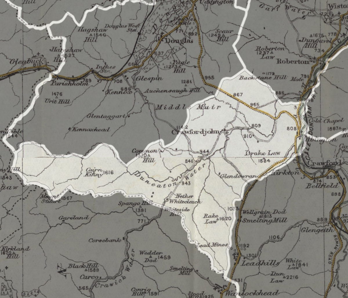
A parish extending over 26,357 acres, including the villages of Abington and Crawfordjohn.
Read the description of parish in 1882...
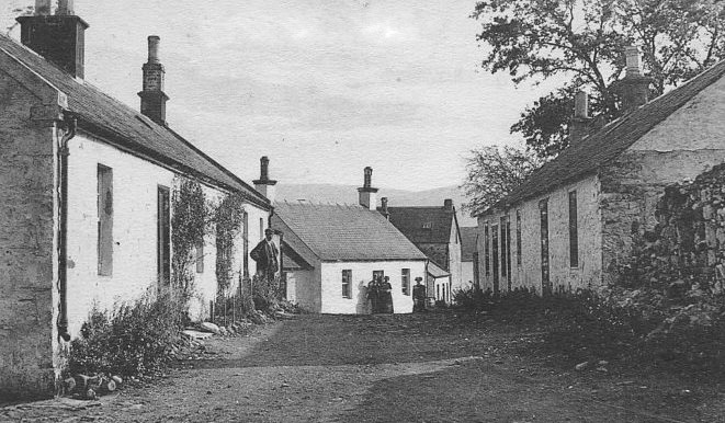
CRAWFORDJOHN, village and parish in upper ward of Lanarkshire.
The village stands on Duncaton rivulet, 3¾ miles from its influx to the Clyde, and has a post office under Abington, a parochial church with 310 sittings, and a public school with about 72 scholars. The parish contains also Abington village, and measures 11 miles in length and about 9 miles in greatest breadth. Area, 26,357 acres. Real property in 1880-81, £11,088. Pop., quoad civilia, 843 ; quoad sacra, 836. The surface comprises about 3200 acres of arable land, but is chiefly pastoral upland, and includes part of Cairntable Mountain. A feudal tower stands at Snar, and vestiges of a great camp are on Netherton Hill. A Free church is at Abington ; and 4 schools with accommodation for 220 scholars are within the parish.
The Gazetteer of Scotland, by Rev John Wilson, 1882
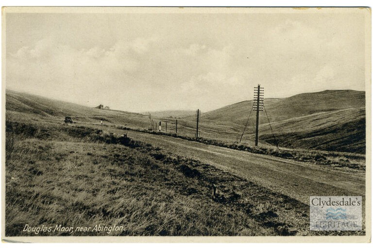
Douglas Moor, near Abington
The Lost Gardens of Glengonnar
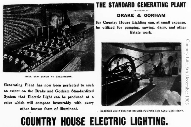
Bringing Light to Glengonnar House.
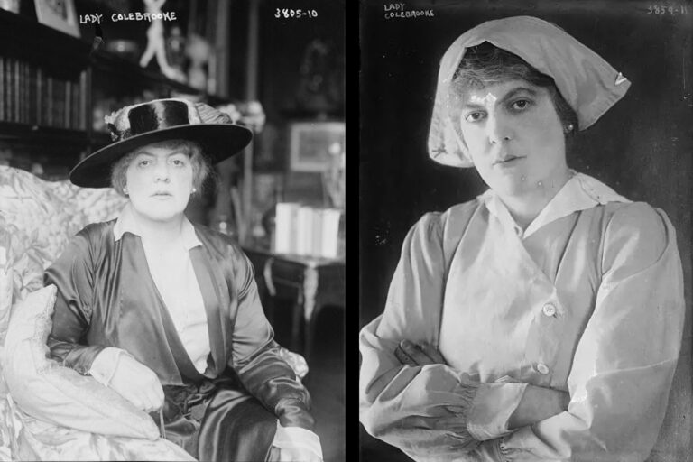
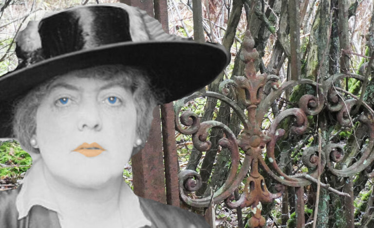
The Invariably Brilliant Lady Colebrooke and the Mystery of Glengonnar House.
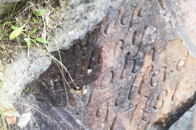
Old Glengonnar Bridge
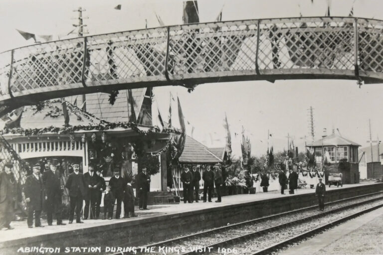
A Royal Holiday in Clydesdale
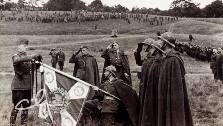
The Poles in Clydesdale During World War II – a story of courage