Wiston & Roberton Parish
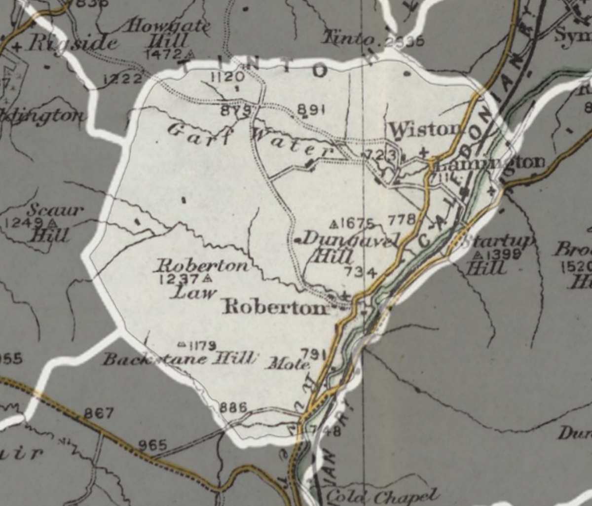
A parish extending over 13,140 acres including the settlements of Wiston and Roberton.
Read the description of parish in 1882...
WISTON, village and parish in upper ward of Lanarkshire.
The village stands about a mile west-north-west of Lamington railway station, contains a mound believed to have been the place of an ancient great wool market, and has a post office under Biggar, a parochial church, and a public school.
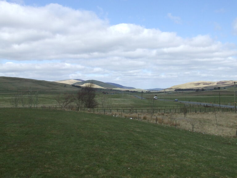
The parish contains also Roberton village, measures 6 miles by 4, and comprises 13,140 acres. Real property in 1880-81, £8542. Pop. 562. The Clyde traces the south-eastern boundary, and receives two burns, draining most of the area. The land adjacent to the streams is variously low, undulating, and tumulated ; and the rest consists of the bold, craggy, double-topped hill of Dungavel, and the southern half of Tinto Mountain. Chief residences are Hardington and Eastfield. A United Presbyterian church is at Roberton.
The Gazetteer of Scotland, by Rev John Wilson, 1882.