Lanark Parish
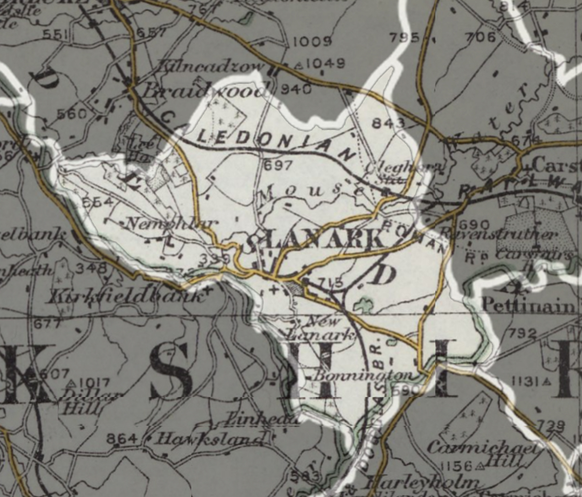
A parish extending over 10,385 acres, including the Royal Burgh of Lanark and the settlements of Cartland, Cleghorn, Hyndfordbridge, Nemphlar, and New Lanark.
Read the description of parish in 1882...
LANARK, town and parish in upper ward of Lanarkshire.
The town stands on a fine high slope, about ½ mile from right bank of the Clyde, 4¾ miles southwest of Carstairs Junction, and 25 by road south-east-by-east of Glasgow; is believed to have sprung from the Roman station Colonia; was the meeting-place of a Scottish parliament in 978, the earliest one on record; had a royal castle, occasionally occupied by William the Lion and other kings; figured prominently in the history of Sir William Wallace; was one of the four original Scottish royal burghs; ranked long as the capital of the country on the Clyde and its affluents down to Dumbartonshire and Ayrshire ranks now as the capital of upper ward of Lanarkshire, and as a burgh uniting with Hamilton, Airdrie, Linlithgow, and Falkirk in sending a member to Parliament; gives the title of earl to the Duke of Hamilton is engirt, to a far distance, by richly picturesque country; attracts multitudes of strangers for visiting the falls of Clyde carries on considerable amount of miscellaneous business ; publishes a weekly news and has a head post office with all departments, a railway station, 4 banking offices, 4 hotels, county buildings of 1834, a parochial church of 1777, with colossal statue of Sir William Wallace over its door, a quoad sacra parochial church of 1867, a Free church, 2 United Presbyterian churches, Evangelical Union and 288 Episcopalian churches, a Roman Catholic church of 1858-59 erected at a cost of about £15,000, an interesting ruin of ancient church on site of Culdee cell, a cemetery around that ruin with grave of a martyred Covenanter and grave of the persecutor Bonshaw, a bowling-green on site of the ancient royal castle, a grammar school, an educational institute, and 6 other schools.
Real property in 1880-81, £13,108. Pop. 4910.—The parish contains also the villages of New Lanark and Cartland measures about 6½ miles by 4½ land ; and comprises 10,385 acres. Real property of landward part in 1880-81, £20,814. Pop. of the whole, quoad civilia, 7580 quoad sacra, 4327.
The river Clyde traces all the south-eastern and southwestern boundaries, and achieves, on the latter, all its famous falls ; and the rivulet Mouse, running to the Clyde, cuts the interior into two not very unequal parts, and traverses, in its lower reach, the celebrated ravine of Cartland Crags. The land is mostly an elevated plateau, bisected by the Mouse, and flanked partly by gentle slopes, partly by steep declivities, downward to the Clyde. A high part of it, called Lanark Moor, was formerly an unsightly waste, but is now adorned with wood; and all other parts are embellished with mansions, parks, and well-cultivated fields.
Chief seats are Lee, Bonnington, Smyllum, Cleghorn, and Sunnyside; and chief antiquities are traces of the Roman Watling Street, remains of two Roman camps, vestiges of Castle Qua, and the remnant of a lofty tower on Castlehill. Fifteen schools for 1838 scholars are in the parish, and 3 of them for 265 are new.
The Gazetteer of Scotland, by Rev John Wilson, 1882
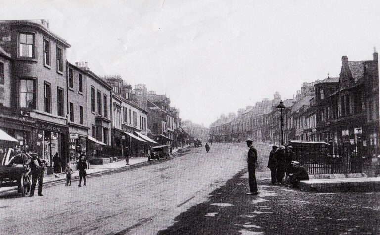
High Street, Lanark
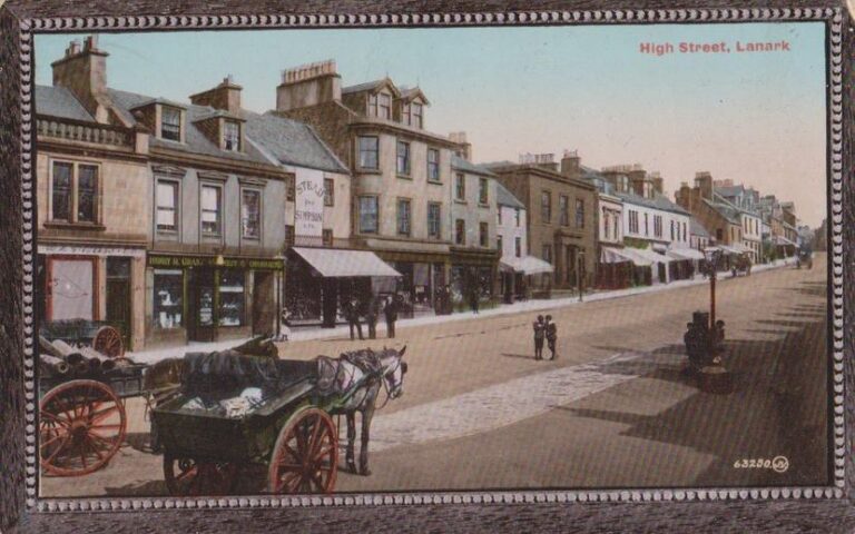
High Street, Lanark
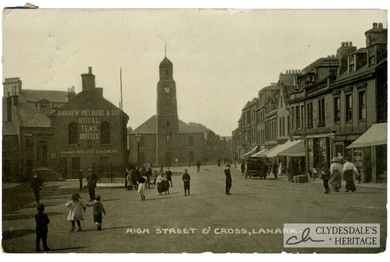
High Street & Cross, Lanark
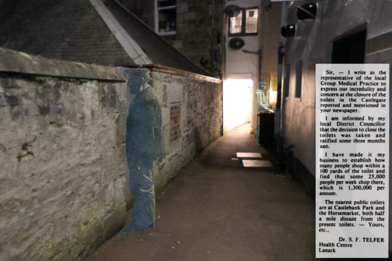
The Extinction of the Public Convenience
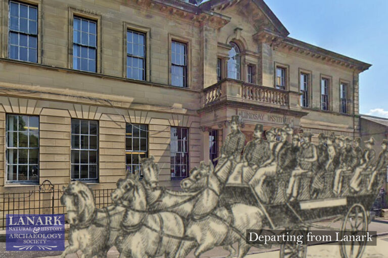
The Lanark Natural History and Archaeological Society
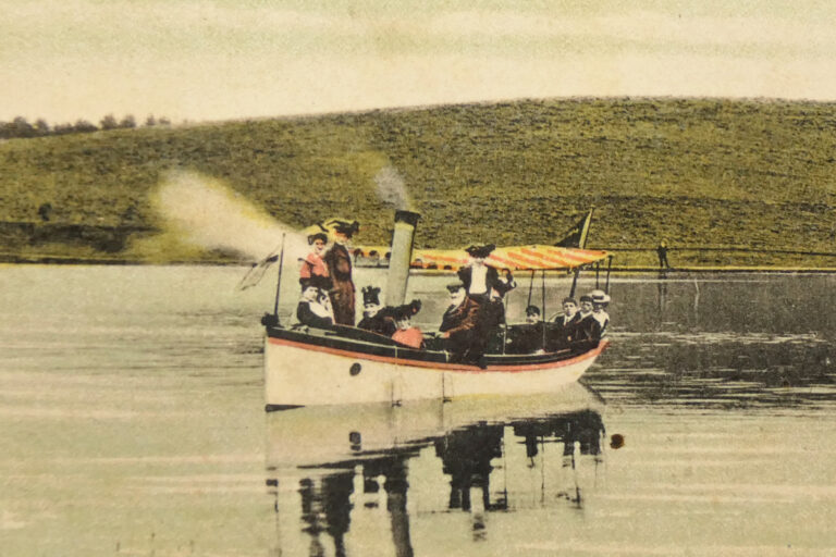
Lanark’s Lake Pavilion – The Most Popular Picnic Resort in Scotland.
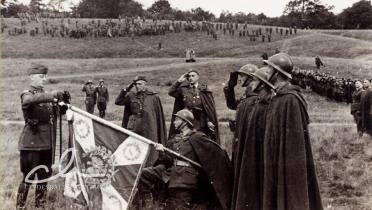
The Poles in Clydesdale During World War II – a story of courage